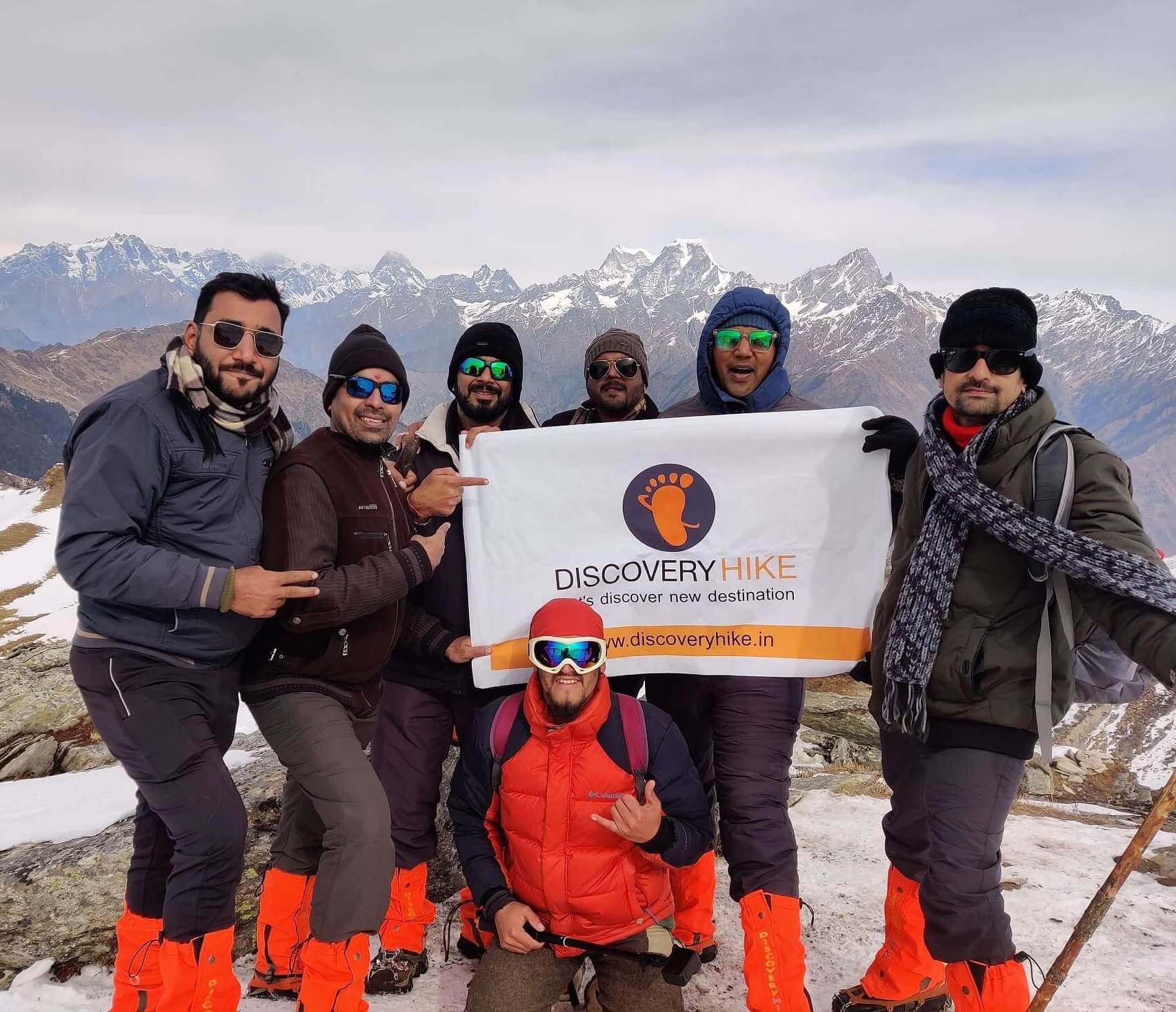
PANGARCHULLA PEAK
Trek
6 Days - 5 Nights
6 Days - 5 Nights
15,069 ft.
Low to Moderate
Chamoli
ABOUT
PANGARCHULLA PEAK
The Pangarchulla peak is a lovely first ascent. The hike is just the right amount of difficulty for hikers who want to try their hand at climbing. Pangarchulla Peak, at 14700 feet above sea level, may have a lot of snow until the end of May. The Pangarchulla Peak trail is a mix of terrains. From lush green farms to the thick jungle to a pristine white snow-covered landscape, the journey is long and winding. Peaks such as Mana, Mandir, Ghodi, Hathi, Barmal, Lampak Massif, Dronagiri, Nanda-Devi, and Bertholi will make you feel humble. Ropes, crampons, ice axe, harnesses, and other technical climbing equipment may be needed to reach the Pangarchulla peak. During the trek, as required, an orientation and skill training on the use of the technical gear will be given. Prior trekking experience and good health are needed due to the 12+ hour summit push and steep terrain. The Pangarchulla Peak Trek is ideal for those preparing for more difficult peak expeditions. The Pangarchulla Peak Trek is adventure-packed and ideally suited for enthusiastic trekkers looking to take it up a notch.
SHORT ITINERARY
-
DAY 1
From Dehradun to Joshimath (1,890M)
-
DAY 2
From Joshimath to Dhak (2,090M) to Guling (2,857M)
-
DAY 3
From Guling to Khulara (3390 M)
-
DAY 4
From Khulara to Pangarchulla (4,590M) and back
-
DAY 5
From Khulara to Dhak (2,090M) to Joshimath (1,890M)
-
DAY 6
From Joshimath to Dehradun (295kms)
DETAILed ITINERARY
Day1: From Dehradun to Joshimath (1,890M)
The journey begins at Joshimath, a highland town on the way to the Valley of Flowers, Hemkund Sahib, and Badrinath. It is 295 kilometres from Dehradun, the nearest city with an airport. By 7 a.m., everyone has gathered at the meeting spot to begin our lengthy trip up to Joshimath, a mountain city in Uttarakhand’s Chamoli region. Despite the fact that there is nothing more on the itinerary for today save the 10-hour journey, it is best to depart as soon as possible and tonight will be spent in the luxury of a warm bed at a guest home in Joshimath, a sacred mountain city located at an elevation of around 1,890 metres. We’ve gained a lot of altitude in one day, and it’s time to give our bodies a break so they can work properly for the rest of the journey. In the city, cellular service is available.
Day2: From Joshimath to Dhak (2,090M) to Guling (2,857M)
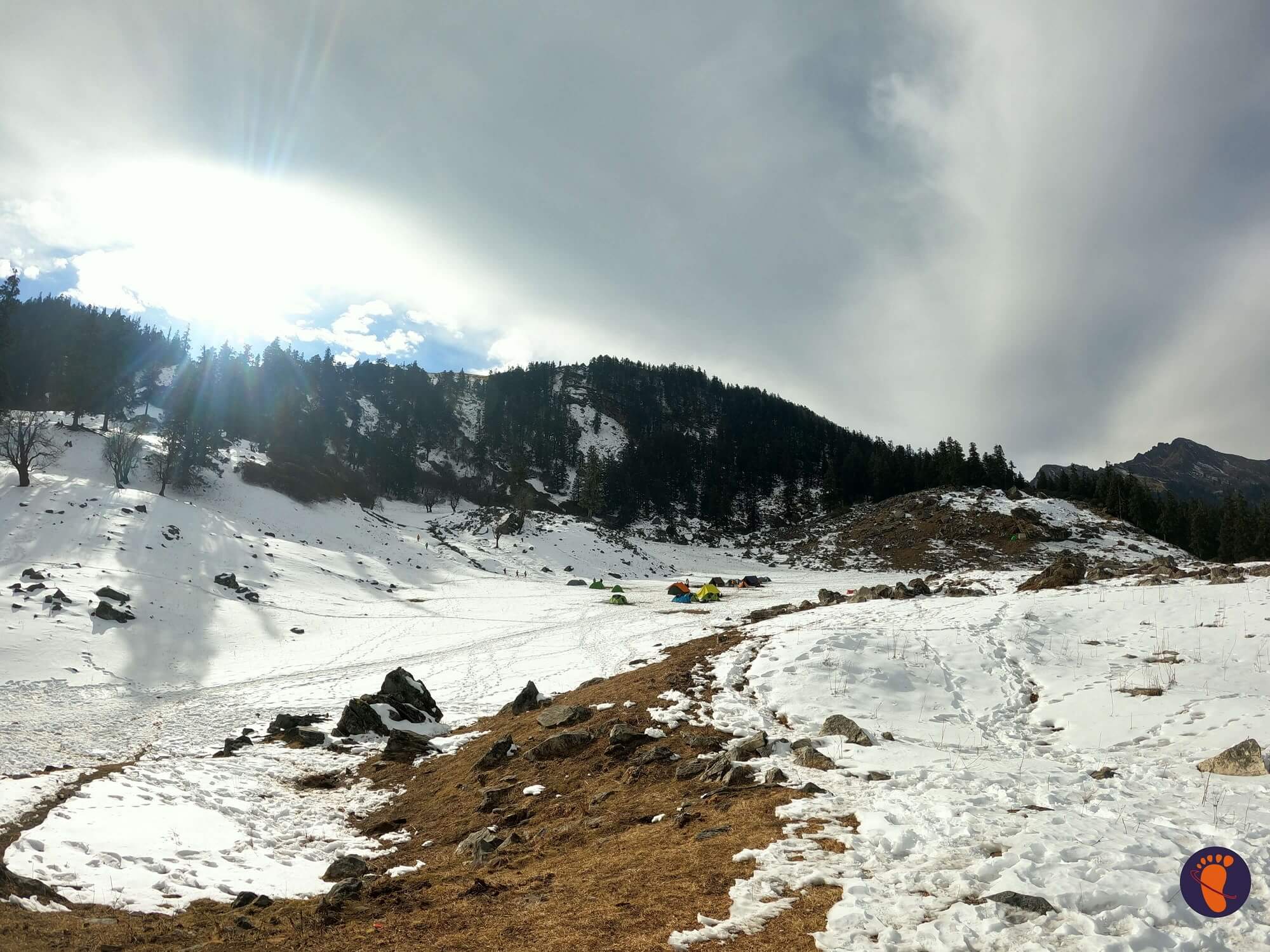
It’s a short day today. So there’s no need to rush out the door in the morning. After a hearty breakfast, we go. Please note that today’s breakfast is not included in the cost, so participants must make their own arrangements. The city of Joshimath serves as a hub for many of the region’s attractions, including the Valley of Flowers, Hemkund Sahib, and even Badrinath’s temple. That is to say, it is a popular tourist destination with plenty of amenities. After breakfast, we put our rucksacks onto a vehicle that will drive us to Dhak, where our walk will begin. Keep your bags light and only bring what you need for the journey – you can leave any surplus luggage at the guest home. Joshimath is around 10 kilometres from Dhak, and the travel takes about 30 minutes. The drive is brief yet beautiful. From the start, you’re in the company of titans. After 20 minutes on the road, you’ll get an uninterrupted view of Nanda Devi, India’s second tallest peak after Kanchenjunga, on your left, and the crown of Pangarchulla on your right, which sits above a lush pine forest. Dhak is roughly a 30-minute drive away. This is where we’ll begin our journey. The first half hour of the hike is on a motorable road up the mountain, following which we abandon the road and go up the mountain on a stone-paved route. The ascent is moderate and steady. While the route is primarily stone-paved, it does get narrow and unstable in parts, necessitating utmost caution. The walk today is very simple, much like a stroll in the garden, under the shade of the plants and the baying of the cattle. Today, we will gain close to 800M in total. So, of course, the stroll around the park includes a modest hill! We begin to put some space between ourselves and any trace of civilization after crossing Upper Tugashi. We enter the forest, which is densely forested with golden and black oak trees, as well as pine and walnut trees. In the winter, ask your local guide to show you the tree whose bark is used to produce butter tea — butter tea is meant to keep the body warm and is a local delicacy – another example of surviving by exploiting nature. The route has a moderate rise – this is the final stretch for today. Guling, you’re getting near to the campground. You should arrive just on time for a hot meal. After your delicious lunch, take a few moments to relax and marvel at the sights that spread before you as the day draws to a close. We go for a brief acclimatisation walk in the evening and return to camp before it gets dark, as we have gained quite a bit of altitude today.
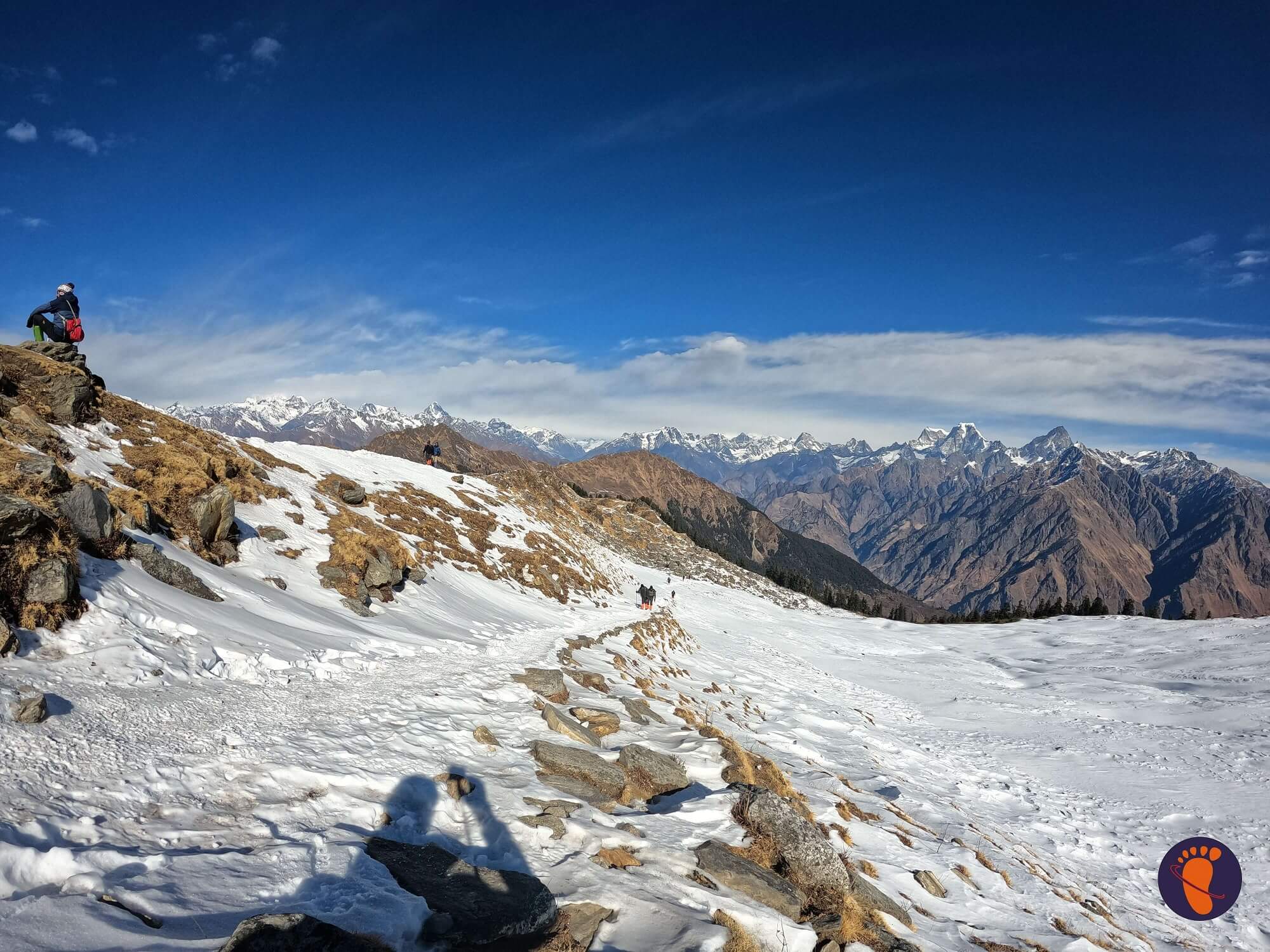
Day3: From Guling to Khulara (3390 M)
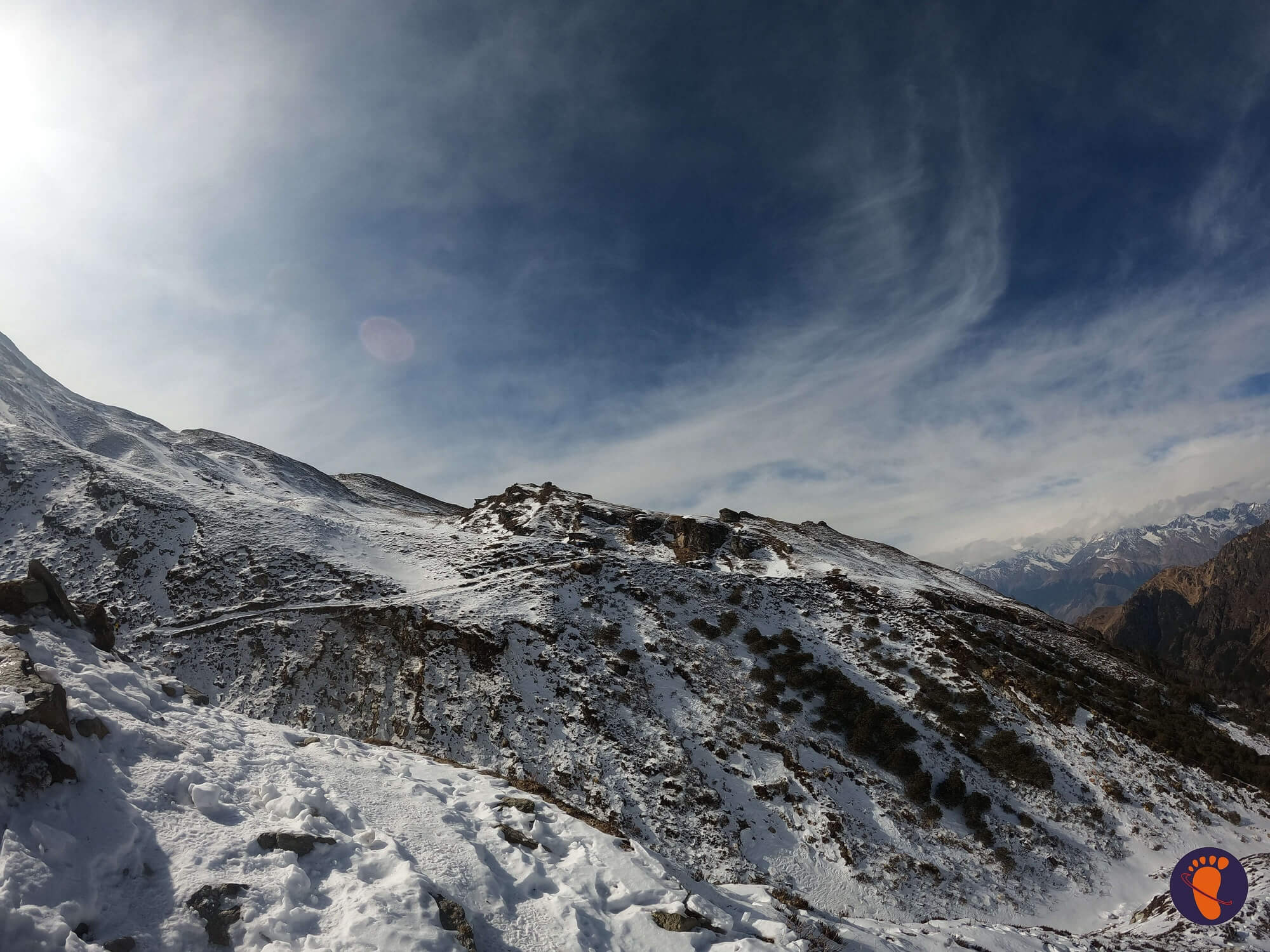
Today is a short hike through the oak and pine trees that surrounded our campground the day before. After breakfast, we head into the silence of the woodland to get the day over with as soon as possible. This is critical since the summit push begins the next night, and we need to rest our bodies before venturing out into the cold. By 9 a.m., we’ve left the campground. After spending the night on open grounds, it takes 5 minutes to reach the deep woodland, where you are abruptly in closed quarters. However, the lofty canopy of the forest provides you with spots of sunshine as a gift. The many flowing streams create movement to the otherwise calm woodland, with drooping pine branches bending in as though for a kiss, and the stern oak, the polar opposite. In this forest, you’ll also find Himalayan Birch or Bhojpatra trees, as well as trees used to manufacture butter tea. The only impediments are the big fallen trees that you must climb over on the trail. Today’s terrain offers a gentle rise that isn’t too taxing. From Khulara onwards, the path may be covered in snow during the months of March and April, and you may have to camp in it. Within three hours, you should arrive to Khulara’s campground. It is a vastly open area with a view of the peaks that expands to fit many more summits. The sunsets here are breathtaking — they look like a conversation between the sun and the heavens, with the sun’s modest movement affecting the colour of the skies and mountains. We also spend some time in the evening distributing the essential summit push gear, as well as a brief lesson on how to utilise them properly to help your ascent.
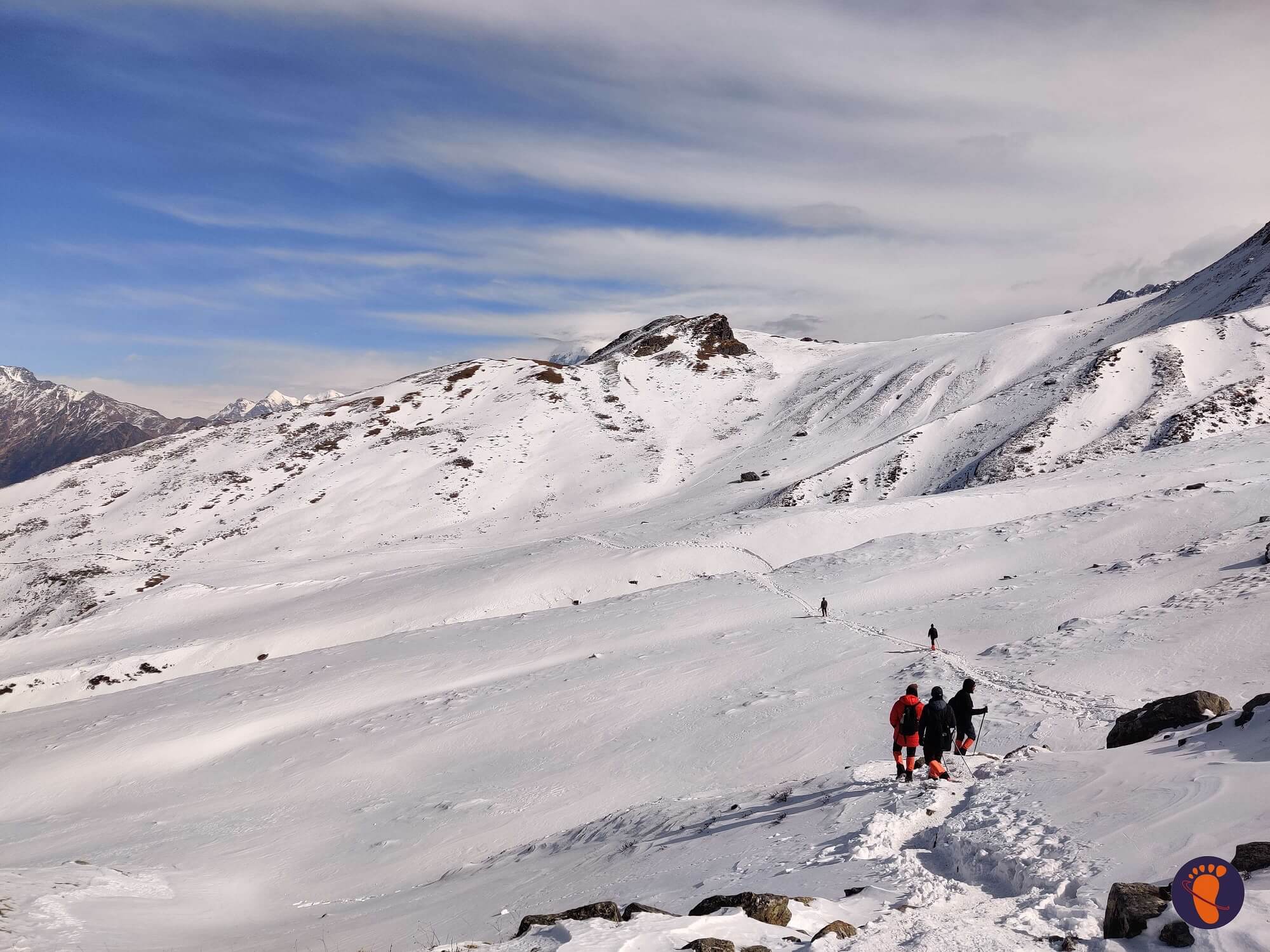
Day4: From Khulara to Pangarchulla (4,590M) and back
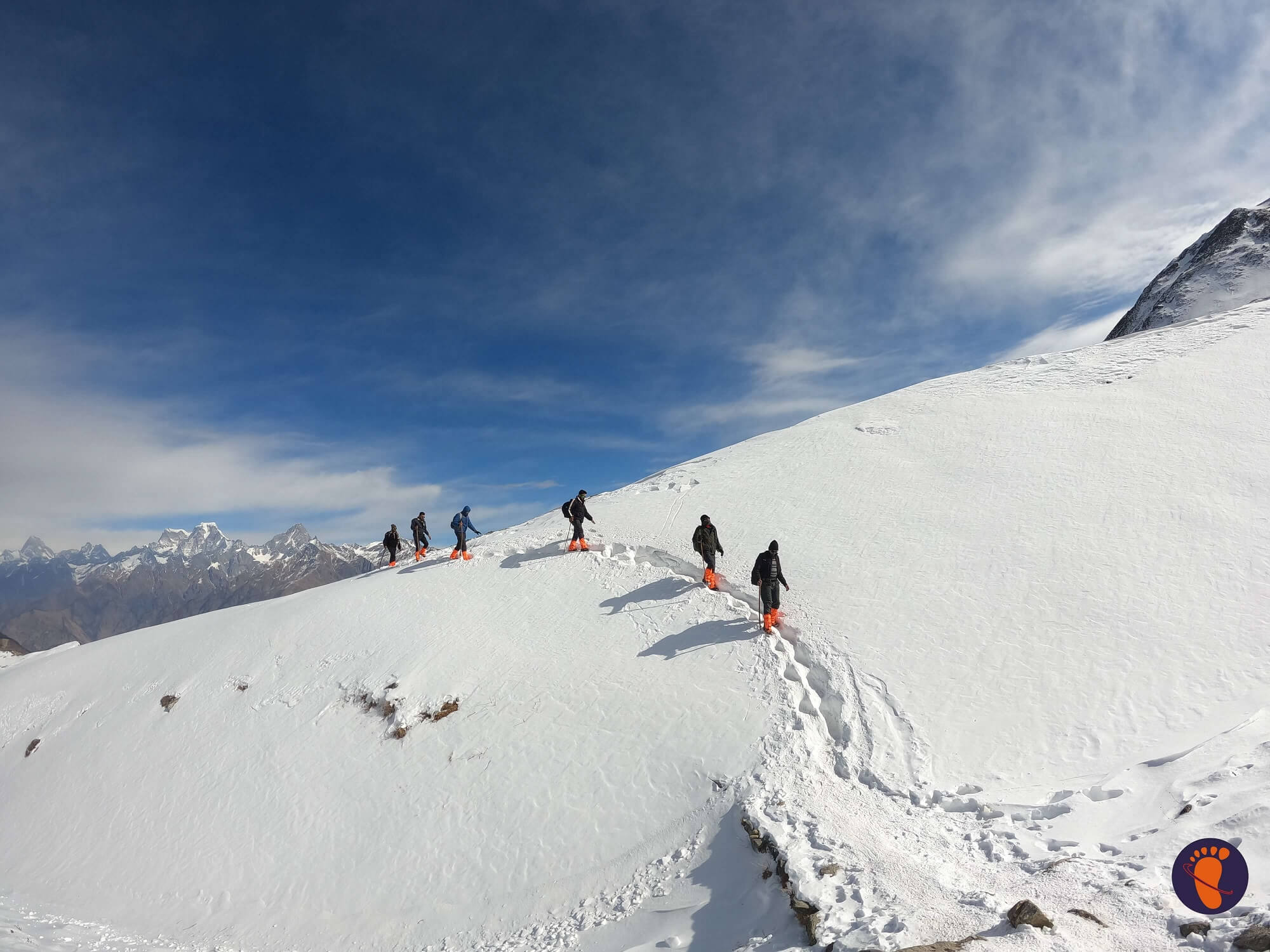
The day begins before the sun rises. We get ready and leave our campground around 3 a.m., in the middle of night. There are no water sources along the way, and it will be a long day, so bring plenty of water. It will be the longest and most difficult day of the climb because it is summit day. Before we go for the night, we eat something and fill our bottles. The walk begins by passing Khulara’s broad land before ascending to a rocky environment with a steady elevation. The nights are often quite chilly. As a result, don’t forget to layer appropriately. The previously concealed areas are now entirely accessible, and you can view the whole Garhwal Range from your vantage point. If you’re feeling depleted after this tough trek, the force of the mountains around you has the capacity to re-energize you. Prepare to begin your descent after a little prayer at the top temple. This will take a long time as well, and you may wish to pass the most dangerous areas before the sun makes the snow unstable. Back down the mountain, we retrace our steps. The descent may appear forever due to the amount of work required to descend these nearly blindingly high mountains. At the three-hour mark, expect to reach the conclusion of the boulder section. And then there’s the three-hour drive to Khulara.
Day5: From Khulara to Dhak (2,090M) to Joshimath (1,890M)
Today is a fairly simple day. All we have to do now is retrace our ways back to Joshimath. We complete breakfast by 8 a.m. and plan to depart by 9 a.m., after recovering from the previous day’s exhaustion. We arrive at our first campground an hour and a half into our descent into the woods. We arrive in Dhak an hour and a half later, when we board our car and travel to Joshimath. There’s plenty to see and do in and around this sacred city. The guest house is where we spend the nights.
Day6: From Joshimath to Dehradun (295kms)
Today is the last day of the trip. Prepare to check out of the guest accommodation and return to Dehradun in your automobiles. By late evening, we should be at Dehradun. If you want to go the same night, book a flight that departs between 11 p.m. and 12 a.m. to accommodate for any unforeseen traffic delays.
DETAILed ITINERARY
Day1: From Dehradun to Joshimath (1,890M)
The journey begins at Joshimath, a highland town on the way to the Valley of Flowers, Hemkund Sahib, and Badrinath. It is 295 kilometres from Dehradun, the nearest city with an airport. By 7 a.m., everyone has gathered at the meeting spot to begin our lengthy trip up to Joshimath, a mountain city in Uttarakhand's Chamoli region. Despite the fact that there is nothing more on the itinerary for today save the 10-hour journey, it is best to depart as soon as possible and tonight will be spent in the luxury of a warm bed at a guest home in Joshimath, a sacred mountain city located at an elevation of around 1,890 metres. We've gained a lot of altitude in one day, and it's time to give our bodies a break so they can work properly for the rest of the journey. In the city, cellular service is available.
Day2: From Joshimath to Dhak (2,090M) to Guling (2,857M)
The journey begins at Joshimath, a highland town on the way to the Valley of Flowers, Hemkund Sahib, and Badrinath. It is 295 kilometres from Dehradun, the nearest city with an airport. By 7 a.m., everyone has gathered at the meeting spot to begin our lengthy trip up to Joshimath, a mountain city in Uttarakhand's Chamoli region. Despite the fact that there is nothing more on the itinerary for today save the 10-hour journey, it is best to depart as soon as possible and tonight will be spent in the luxury of a warm bed at a guest home in Joshimath, a sacred mountain city located at an elevation of around 1,890 metres. We've gained a lot of altitude in one day, and it's time to give our bodies a break so they can work properly for the rest of the journey. In the city, cellular service is available.
The ascent is moderate and steady. While the route is primarily stone-paved, it does get narrow and unstable in parts, necessitating utmost caution. The walk today is very simple, much like a stroll in the garden, under the shade of the plants and the baying of the cattle. Today, we will gain close to 800M in total. So, of course, the stroll around the park includes a modest hill! We begin to put some space between ourselves and any trace of civilization after crossing Upper Tugashi. We enter the forest, which is densely forested with golden and black oak trees, as well as pine and walnut trees. In the winter, ask your local guide to show you the tree whose bark is used to produce butter tea — butter tea is meant to keep the body warm and is a local delicacy – another example of surviving by exploiting nature. The route has a moderate rise - this is the final stretch for today. Guling, you're getting near to the campground. You should arrive just on time for a hot meal. After your delicious lunch, take a few moments to relax and marvel at the sights that spread before you as the day draws to a close. We go for a brief acclimatisation walk in the evening and return to camp before it gets dark, as we have gained quite a bit of altitude today.
Day3: From Guling to Khulara (3390 M)
Today is a short hike through the oak and pine trees that surrounded our campground the day before. After breakfast, we head into the silence of the woodland to get the day over with as soon as possible. This is critical since the summit push begins the next night, and we need to rest our bodies before venturing out into the cold. By 9 a.m., we've left the campground. After spending the night on open grounds, it takes 5 minutes to reach the deep woodland, where you are abruptly in closed quarters. However, the lofty canopy of the forest provides you with spots of sunshine as a gift. The many flowing streams create movement to the otherwise calm woodland, with drooping pine branches bending in as though for a kiss, and the stern oak, the polar opposite. In this forest, you'll also find Himalayan Birch or Bhojpatra trees, as well as trees used to manufacture butter tea. The only impediments are the big fallen trees that you must climb over on the trail. Today's terrain offers a gentle rise that isn't too taxing. From Khulara onwards, the path may be covered in snow during the months of March and April, and you may have to camp in it. Within three hours, you should arrive to Khulara's campground.
It is a vastly open area with a view of the peaks that expands to fit many more summits. The sunsets here are breathtaking — they look like a conversation between the sun and the heavens, with the sun's modest movement affecting the colour of the skies and mountains. We also spend some time in the evening distributing the essential summit push gear, as well as a brief lesson on how to utilise them properly to help your ascent.
Day4: From Khulara to Pangarchulla (4,590M) and back
The day begins before the sun rises. We get ready and leave our campground around 3 a.m., in the middle of night. There are no water sources along the way, and it will be a long day, so bring plenty of water. It will be the longest and most difficult day of the climb because it is summit day. Before we go for the night, we eat something and fill our bottles. The walk begins by passing Khulara's broad land before ascending to a rocky environment with a steady elevation. The nights are often quite chilly. As a result, don't forget to layer appropriately. The previously concealed areas are now entirely accessible, and you can view the whole Garhwal Range from your vantage point. If you're feeling depleted after this tough trek, the force of the mountains around you has the capacity to re-energize you. Prepare to begin your descent after a little prayer at the top temple. This will take a long time as well, and you may wish to pass the most dangerous areas before the sun makes the snow unstable. Back down the mountain, we retrace our steps. The descent may appear forever due to the amount of work required to descend these nearly blindingly high mountains. At the three-hour mark, expect to reach the conclusion of the boulder section. And then there's the three-hour drive to Khulara.
Day5: From Khulara to Dhak (2,090M) to Joshimath (1,890M)
Today is a fairly simple day. All we have to do now is retrace our ways back to Joshimath. We complete breakfast by 8 a.m. and plan to depart by 9 a.m., after recovering from the previous day's exhaustion. We arrive at our first campground an hour and a half into our descent into the woods. We arrive in Dhak an hour and a half later, when we board our car and travel to Joshimath. There's plenty to see and do in and around this sacred city. The guest house is where we spend the nights.
Day6: From Joshimath to Dehradun (295kms)
Today is the last day of the trip. Prepare to check out of the guest accommodation and return to Dehradun in your automobiles. By late evening, we should be at Dehradun. If you want to go the same night, book a flight that departs between 11 p.m. and 12 a.m. to accommodate for any unforeseen traffic delays.
subscribe Now
Get Quote
DEPATURE DATE
Call- +91-8979108941 | +91-9458118063
Call- +91-8979108941 | +91-9458118063
Call- +91-8979108941 | +91-9458118063
Call- +91-8979108941 | +91-9458118063
Call- +91-8979108941 | +91-9458118063
COST INCLUSION
-
Pick and Drop Service from mentioned location
-
Fees for the guide and the chef
-
Camping facilities' rent
-
Entrance fees to the forest
-
To transport camping gear, a porter and mule are required. Please keep in mind that personal baggage can be borne by mules and/or porters for a fee
-
From the first day's dinner until the last day's brunch, both of the meals are vegetarian
-
Throughout the walk, you'll be staying in a tent or if possible, then in a guest house
COST EXCLUSION
-
No pickup and drop point from/for your hometown
-
Personal costs include things like tips, personal medications, and conference calls, etc
-
Apart from what is mentioned above, some transportation assistance during the trek
-
Porters/mules can carry personal luggage weighing up to 12 kg per bag per person for Rs 350 per day per bag
subscribe Now
Frequently asked question
- Footwear: The trekking boots which must be waterproof and snow proof, normal boots, floaters, and woolen socks.
- Backpack: (50 ltr), Daypack (20-30 ltr), Duffel bag.
- Clothes: Jacket and trousers that are both waterproof and breathable. Jacket (synthetic or down feather fleece), synthetic insulated trousers, poncho, sweatshirt, inner thermal (upper & lower), fleece, t-shirts, cotton trekking pants, shorts
- Season wise Clothes:
- Hand and head protection includes liner gloves, bandannas, sun hats, woollen caps, and face masks, among other things.
- Accessories: Sunglasses/goggles, anti-glare lenses, water bottle, hydra bag, and headlamp with spare bulb and extra batteries are all recommended.
- Trekking Gears: Toolkit for an emergency. Sunscreen, a toiletry pack, water purification pills, Ziploc packs, ear plugs, first-aid kit, and the necessary medications are all recommended.
- Camping Equipment: Sleeping bags of lining (extreme -5 to +5 Celsius if you have one), trekking sticks, and so on.
- Warm top/light micro fleece pullover/full sleeve T shirt – 2/3
- Water resistant/repellent trekking pants with an inner lining for added warmth- 2 High-quality windproof/water-resistant outer shell (jacket) with a proper hood
- Thick Fleece / Full-sleeve Woollen Jumper, Down Jacket with at least 600 fill capacity Innerwear with a thermal component (upper and lower)
- Woolen hat, inner fleece gloves, and outer water-resistant gloves
- 4–5 pairs of thick woollen socks and standard socks, scarf/muffler (optional)
- Waterproof Trekking/Hiking shoes with a thick heel and high ankles that are comfortable to wear. Sneakers/sport shoes are ideal for camp.
- Poncho or raincoat. A small, light-weight towel
- A hydration pack and an insulated water bottle (optional)
- Sunglasses with UV cover and the potential to cut light, as well as a cap or floppy hat to shield the strong sun off your skin (important when traversing through snow)
- Trekking pole or sturdy walking stick Lip Balm, Sunscreen Lotion
- Flashlight / torch (with extra batteries) Medications, if any special prescription is needed Toiletries for personal use
- Carry a rain cover over your luggage • Day pack/small bag that you can carry on your back all day to keep your essentials in
- Keep a few poly bags or plastic containers in your bag to place your things in if you need to in case of heavy weather.
Personal Medical Kit (MANDATORY FOR ALL)
- 10 Diamox tablets (to prevent AMS)
- Nifedipine – 5 pills Dexamethasone – one strip
- 6 tablets of Crocin (fever)
- 4 tablets of avomine (motion sickness) 4 capsules of Avil 25mg (allergies)
- 4 tablets of Combiflam (Pain killer)
- 6 tablets each of Norflox TZ and Lomofen (diarrhea) 10 tablets of Digene (acidity)
- 10 Omez/Rantadine capsules (antacids) 3 to 5 metres of crepe bandage
- 1 tiny roll of gauze 10 strips of bandage 1 small roll of cotton 10 packets of ORS
- Moov spray Betadine or other antiseptic cream (aches, & sprains)
- If you're vulnerable to knee injuries, you should wear a knee cap. Powder with antifungal properties
- Cancellation: If a trek is cancelled at the last minute due to a natural disaster or unforeseeable circumstances (such as floods, earthquakes, landslides, attack, or bandh), Discoveryhike will have a trek voucher for the full number. The voucher can be used for the same or a different trek over the next year.
- In case you wish to cancel the trek, then please be aware of these things:
- Cancellations made within 30 days of the trek's launch date will include a complete refund.
- If you cancel within 30 and 20 days before the hike, you will get a 50% refund.
- There will be no refund if you cancel less than 20 days before the trek begins.
- Please keep in mind that if you get a refund, there will be a reduction of 4% (Cancellation charges) from the overall amount you pay. In addition, if you purchased trek insurance, you would not get a refund.
- Discoveryhike assumes no responsibility for any malfunction or injury to your clothes, supplies, or other belongings while on the trek. The trek fee covers all expenses associated with the trek from start to finish.
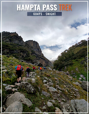
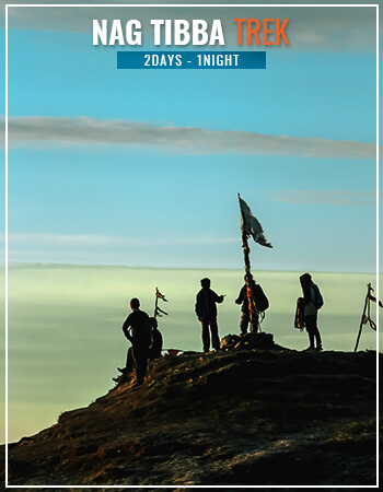
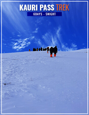
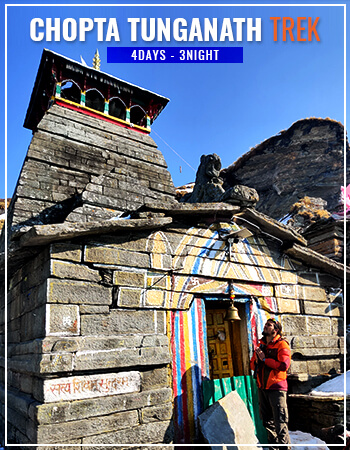
other Treks